
|
Getting your Trinity Audio player ready...
|
The Eastern Pacific hurricane season officially begins on May 15 and runs through November 30, covering the basin that directly influences Baja California Sur and the southern coast of Mexico. For Los Cabos, the most active stretch typically arrives between August and October, when sea surface temperatures reach their warmest levels and tropical systems are more likely to organize off the Pacific coast.
This year’s outlook is being shaped by growing attention around the Pacific Ocean itself. Meteorological agencies including the World Meteorological Organization (WMO), NOAA’s Climate Prediction Center, and hurricane forecasters across North America are closely monitoring the possible development of stronger-than-average El Niño conditions during the second half of 2026.
For Baja California Sur, hurricane season is both a weather story and an infrastructure story. The region depends on airports, marinas, highways, tourism operations, and desalination systems that are sensitive to heavy rainfall and tropical storms. At the same time, Pacific hurricanes are also part of the peninsula’s hydrological cycle, bringing seasonal rainfall to one of Mexico’s driest regions.
Understanding El Niño
One of the most frequently mentioned terms in seasonal hurricane forecasting is ENSO, short for El Niño-Southern Oscillation. The cycle describes changes in ocean temperatures and atmospheric pressure across the tropical Pacific. Its two most recognized phases are El Niño and La Niña.
During El Niño, waters in the central and eastern Pacific become warmer than average. Those warmer waters release more heat and moisture into the atmosphere, creating conditions that can favor hurricane formation in the Eastern Pacific basin.
Meteorologists pay close attention to this relationship because tropical cyclones draw their energy from warm ocean water. When sea surface temperatures rise, storms can organize more efficiently and sometimes intensify faster.
The World Meteorological Organization stated in its latest seasonal updates that neutral ENSO conditions are expected to gradually transition during 2026, while the probability of El Niño development increases through the summer months. Several forecast models now indicate the possibility of a moderate or potentially strong El Niño event later this year.
Recent forecasting models cited by climate researchers and meteorological outlets including The Weather Channel have also raised the possibility of a stronger-than-average El Niño developing later in 2026. Some long-range projections have introduced the term “super El Niño,” used to describe particularly intense warming episodes in the equatorial Pacific.
Forecasters continue emphasizing that those projections remain probabilistic and subject to change. Seasonal climate models become more reliable as summer progresses, and agencies including NOAA’s Climate Prediction Center caution that the eventual strength of El Niño conditions cannot yet be determined with certainty.
The Eastern Pacific Basin and Baja California Sur
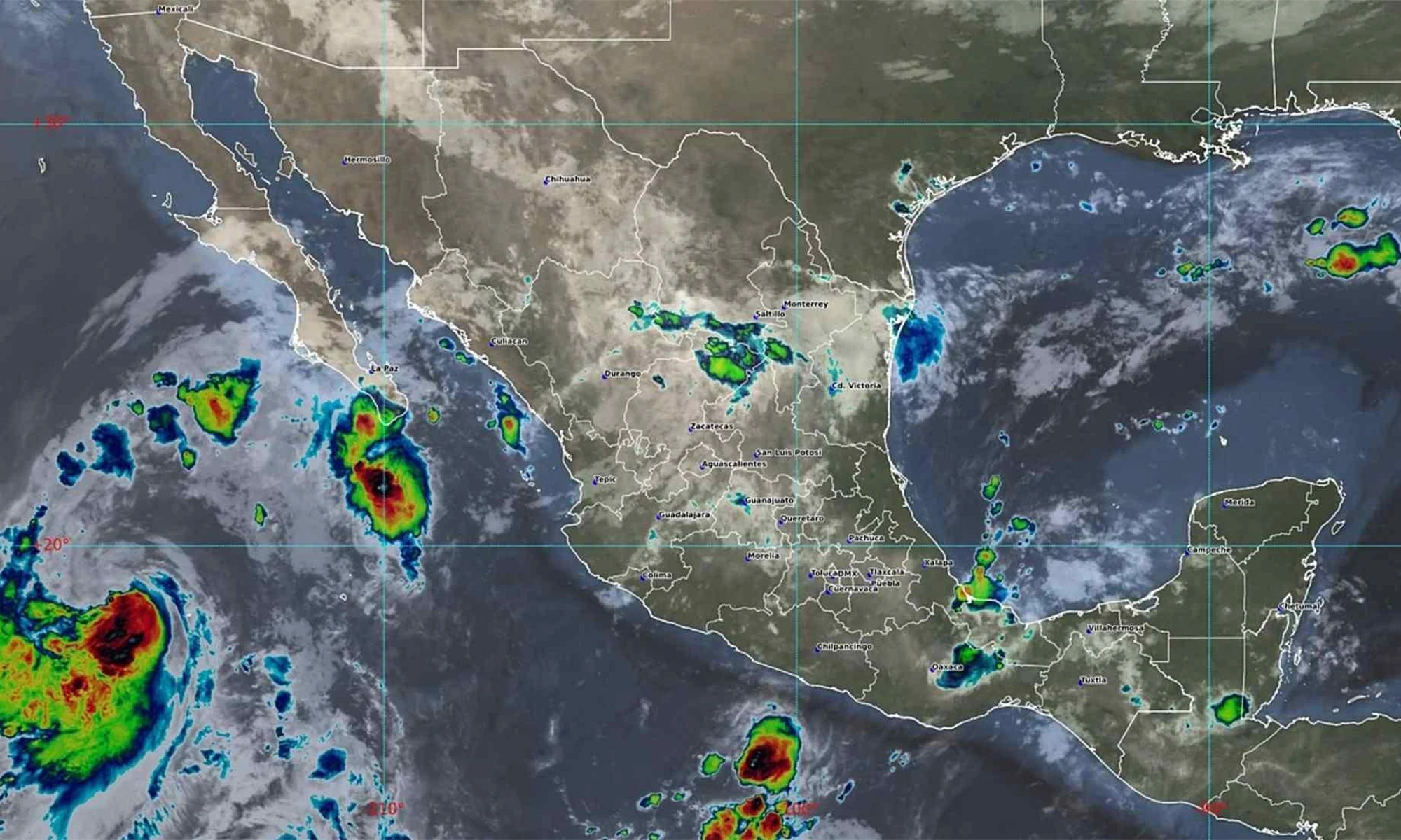
The Eastern Pacific hurricane basin is one of the most active tropical cyclone regions in the world. Storms generally form south of Mexico, often beginning as tropical waves that move westward across warm Pacific waters.
Many systems curve harmlessly into the open ocean. Others move parallel to the Mexican coastline before weakening. A smaller number travel northward toward the Baja California Peninsula.
Because Los Cabos sits at the southern tip of the peninsula, the region occupies a particularly exposed geographic position. Hurricanes approaching from the south or southeast can produce heavy rainfall, strong surf, flooding, and damaging winds, even when the center of circulation remains offshore.
For the Eastern Pacific basin, meteorologists are also closely watching ocean heat content in 2026. In addition to warm surface temperatures, unusually warm subsurface waters can provide additional energy for tropical systems later in the season, particularly between August and October when Baja California Sur historically faces its highest hurricane risk.
Forecasting Still Has Limits

Despite advances in satellite monitoring, ocean buoys, and climate modeling, seasonal hurricane forecasting still comes with uncertainty.
Meteorologists can identify patterns that statistically favor active or below-average seasons, but they cannot determine months in advance exactly where storms will travel. Hurricane tracks depend on short-term atmospheric steering currents that change continuously throughout the season.
That distinction remains central to how authorities communicate seasonal forecasts. Climate outlooks are designed to describe broad atmospheric conditions across the Pacific rather than predict direct impacts for specific destinations. Even during highly active Pacific hurricane seasons, many storms remain offshore or curve into the open ocean, while isolated storms in quieter years can still produce significant impacts for Baja California Sur.
That uncertainty is particularly relevant in Baja California Sur. The region has seen both extremes. Some years pass with minimal impacts despite elevated Pacific activity, while others bring destructive landfalls. Hurricane Odile in 2014 remains the most referenced modern example in Los Cabos, not only because of wind damage but because it exposed the vulnerability of tourism infrastructure, power systems, communications, and transportation networks.
What Authorities Recommend Before the Season
Mexican civil protection agencies and international meteorological organizations continue emphasizing preparedness rather than alarm.
For residents and tourism operators in Los Cabos, hurricane preparation usually begins well before any storm forms. Hotels and resorts review emergency procedures, marinas monitor evacuation protocols, and local authorities inspect drainage systems that can become overwhelmed during intense rainfall events.
Travelers visiting Baja California Sur during hurricane season are generally advised to monitor official forecasts rather than relying on social media speculation. The National Hurricane Center and Mexico’s Servicio Meteorologico Nacional issue regular tropical weather outlooks, storm advisories, rainfall projections, and track updates throughout the season.
Forecast agencies also emphasize that impacts are not limited to direct landfalls. Large Pacific hurricanes can generate dangerous surf, localized flooding, road closures, and flight disruptions across the peninsula even when the storm center remains offshore.