|
Getting your Trinity Audio player ready...
|
Paralelo 26 traces a route across central Baja California Sur, linking fisheries on both the Sea of Cortez and Pacific coasts. The destinations along the route differ significantly in geography, target species, and fishing traditions.
The corridor follows the latitude that crosses Loreto before continuing west toward Bahia Magdalena and Puerto Adolfo Lopez Mateos, taking in island fisheries on the Gulf side and estuary and lagoon systems on the Pacific.
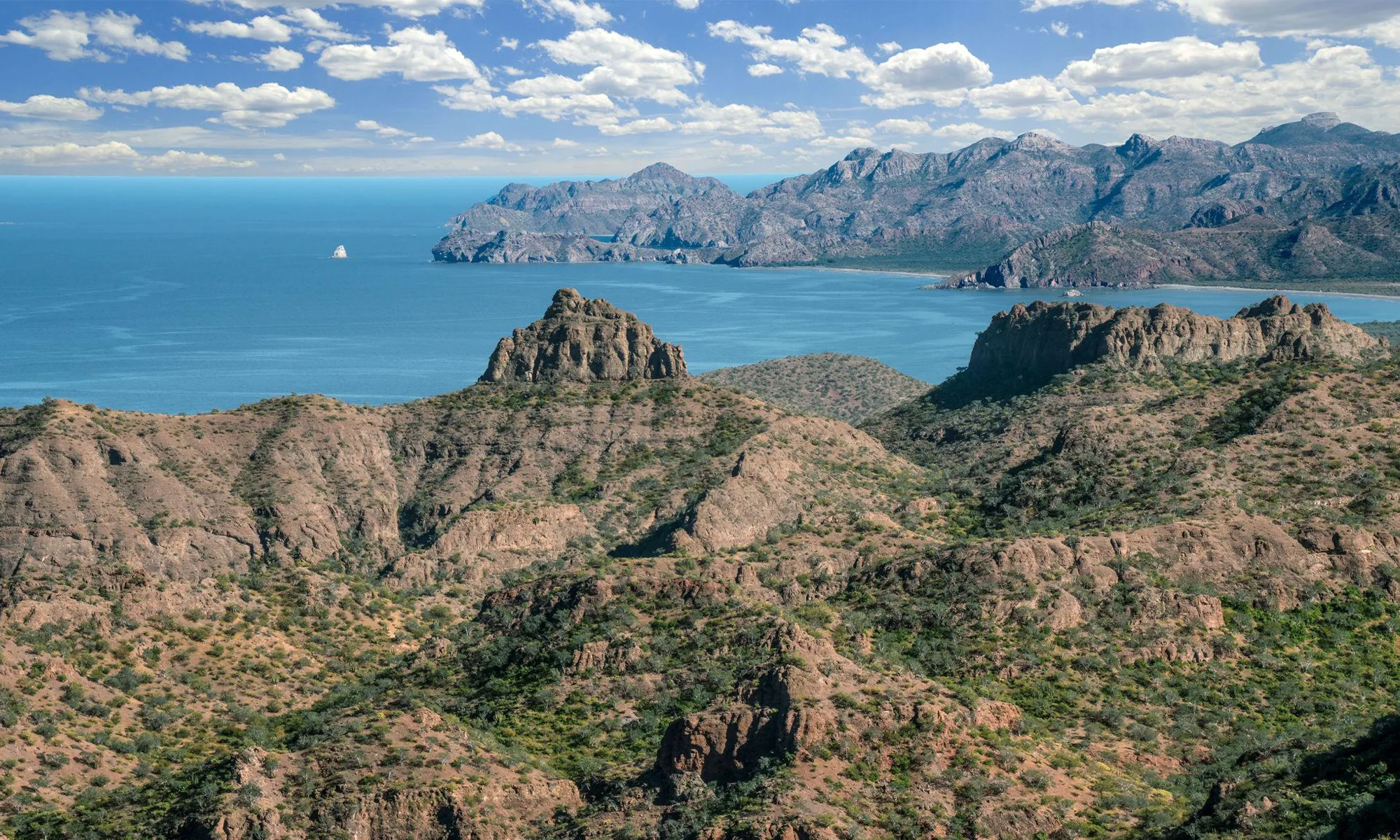
Loreto: A Fishery Built Around the Islands
Loreto is the principal Gulf-side destination in the corridor. Recreational fishing has been part of the local economy for decades, supported by access to the waters surrounding Loreto Bay National Park and the five islands that define the region’s marine environment.
Seasonal changes drive the rhythm of the fishery. Yellowtail dominate during the cooler months and into spring, while dorado, sailfish, tuna, and marlin become more common as water temperatures rise through summer and fall. The principal fishing grounds are the waters around Isla del Carmen, Isla Coronado, Isla Danzante, and Isla Monserrat.
The city’s tournament calendar reflects those seasonal shifts. The Loreto Dorado International Fishing Tournament, typically held in July, coincides with the start of peak dorado season, which runs through October. During the cooler months, anglers focus on yellowtail, with the strongest fishing usually between January and April. Other events (the Copa Gobernador and local yellowtail tournaments organized by sportfishing clubs) draw participants from across Mexico and the United States.
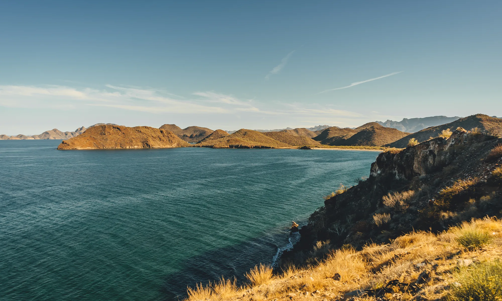
Puerto Escondido and Ligui
Approximately 25 kilometers south of Loreto, Puerto Escondido offers direct access to deeper offshore waters. The marina is one of the principal launching points for vessels operating along this section of the Gulf. Fishing activity peaks during the warmer months, when dorado, tuna, wahoo, sailfish, and marlin move through the area. Puerto Escondido’s value lies in its offshore access and infrastructure for longer-range operations.
Nearby, the coastal community of Ligui sits south of Puerto Escondido along the Gulf coast. Anglers work between the protected waters surrounding the islands and the deeper offshore environments farther south, targeting different fisheries within a compact area.
Agua Verde and the Gulf’s Traditional Fisheries
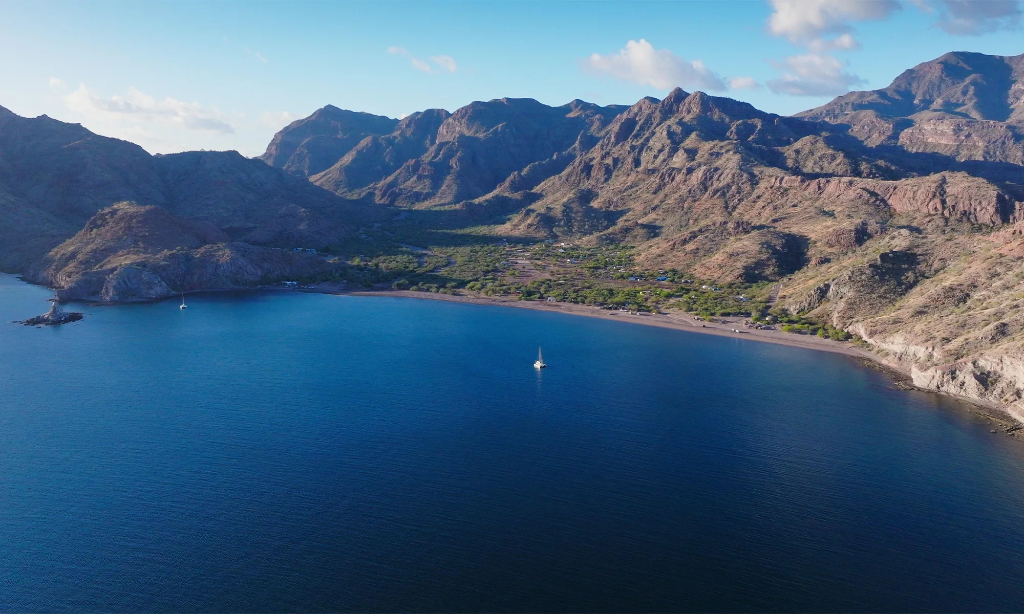
Further south, the route reaches Agua Verde, a small coastal community where fishing remains closely connected to local livelihoods. Reaching the bay requires crossing sections of the Sierra de la Giganta before descending toward the Gulf coast, a level of geographic isolation that has limited large-scale tourism development.
Fishing here relies on local knowledge of the coastline and nearby reefs, with no marina infrastructure or tournament presence. Roosterfish, pargo, cabrilla, and other nearshore species are the primary targets. Recreational and traditional fishing practices continue to overlap here.
Crossing the Peninsula
The corridor crosses between two distinct marine environments.
The route leaves the Gulf coast and travels through the ranching and agricultural regions of the Sierra de la Giganta. Communities such as Ciudad Insurgentes connect the two coasts, linking destinations separated by ecosystems, oceanographic conditions, and fishing traditions.
Within a few hours, anglers move from the clear waters and island habitats of the Gulf to the lagoon systems of the Pacific coast.
Puerto Adolfo López Mateos
Puerto Adolfo Lopez Mateos sits on the eastern edge of Bahía Magdalena. Widely known for gray whale tourism during winter, the community also supports an active fishing sector throughout much of the year.
Fishing here is tied to estuaries, channels, and mangrove systems. Snook, corvina, halibut, grouper, and roosterfish are the primary targets — a different profile from the offshore fisheries on the Gulf side. The surrounding waters offer both inshore and offshore access, making Lopez Mateos the principal entry point into the Bahia Magdalena system.
Bahia Magdalena
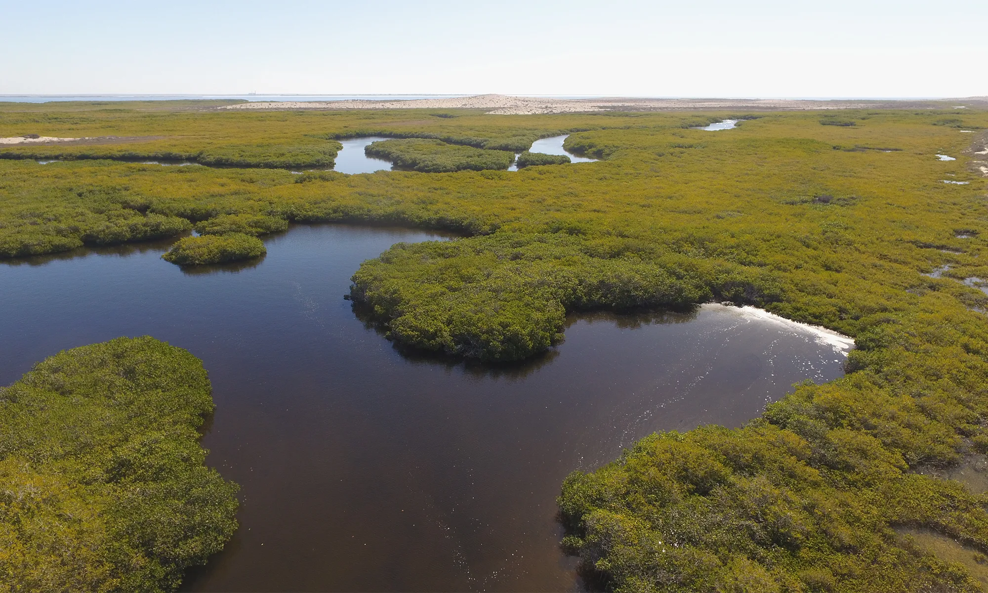
The western end of the corridor is Bahia Magdalena, a vast network of bays, channels, barrier islands, and mangrove habitats extending along the Pacific coast of Baja California Sur.
The area supports both commercial and recreational fisheries. Seasonal concentrations of baitfish attract tuna, dorado, marlin, and other pelagic species, while the lagoon system supports a wide variety of inshore fisheries.
The scale of Bahia Magdalena is difficult to appreciate without seeing it. The bay is an interconnected system whose productivity extends across a large section of the Pacific coast. Kayak anglers have been drawn to the bay by the diversity of habitats and species throughout the region.